
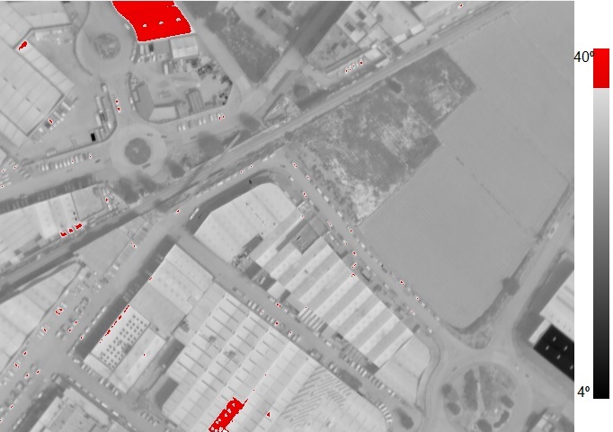
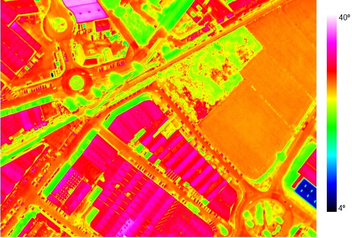
At AdanGIS, we combine cutting-edge thermal imaging technology with GIS systems to offer precise, visual, and georeferenced solutions. From industrial inspections to environmental analyses, we capture what the eye cannot see.
All our results can be integrated into interactive viewers, comparative maps, or customized platforms, allowing any user—regardless of technical experience—to interpret the information clearly and effectively.
We detect thermal anomalies in electrical networks, substations, solar panels, and other energy systems to prevent failures and optimize maintenance.
We assess thermal losses, thermal bridges, and insulation issues in buildings, helping to improve their energy efficiency and indoor comfort.
We monitor the water and physiological status of crops, detect thermal stress and pests to improve agronomic performance.
We locate hot water or steam leaks in buried networks and geothermal installations without the need for invasive excavation.
We monitor the curing of concrete, check thermal insulation, and detect construction defects in real-time.
We study the thermal behavior of the urban environment to support strategies for sustainable urban planning and climate mitigation.
We evaluate machinery, thermal processes, and installations to detect overheating, leaks, or defects before they cause failures.
We inspect port areas, thermal discharges, and sources of heat in aquatic environments, which are key in environmental and port studies.
We generate calibrated orthophotos ready for integration into GIS systems, web viewers, or specialized technical reports.
We provide comprehensive analysis with thermographic images, comparative data, and clear technical recommendations for decision-making.
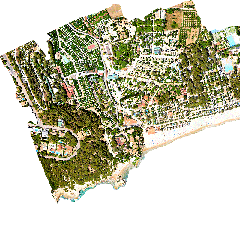
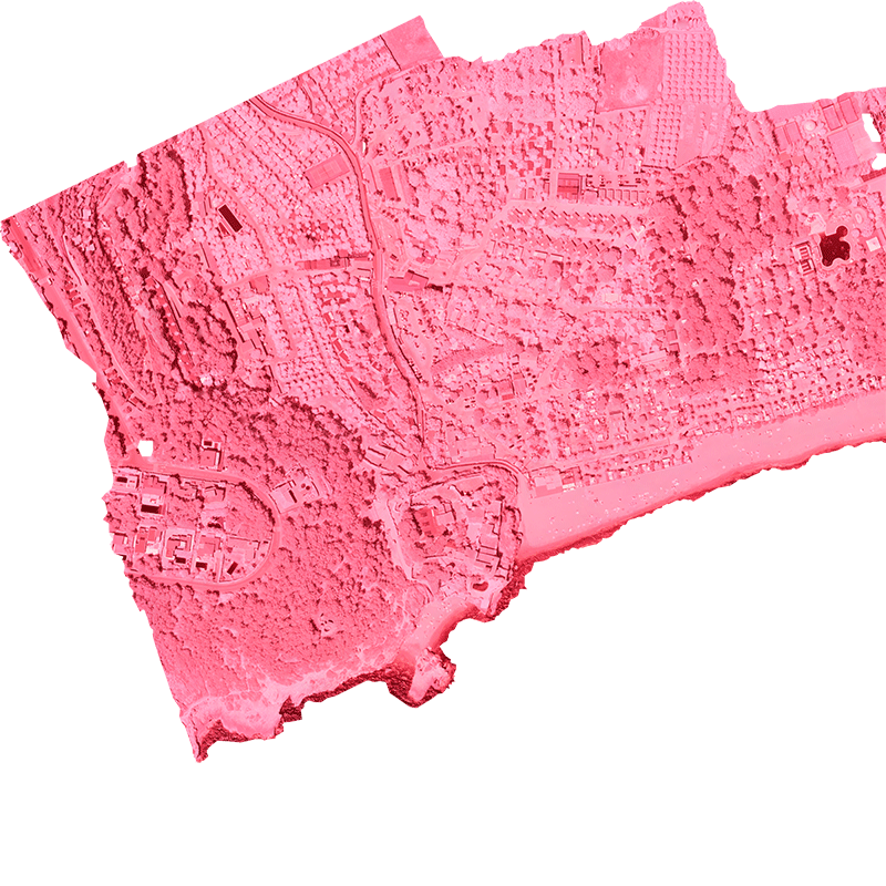
These mosaics are adapted to low resolution for better web loading.
Copyright 2026 adanair.com